We serve a wide range of customers across nearly every industry. Customer Service is important to us and we pride ourselves on getting things done that other companies cannot.


If you can dream it, we can build it. Even if you can only kind of, sort of, maybe describe something that you’re thinking about- our representatives will get you a mock up and figure it out. From mock ups to pricing and shipping, we stay with you every step of the way.

Can’t find what you’re looking for? No problem! We’re service experts first. With our list of hundreds of manufacturers that we build relationships with and continuously add to, we can get you whatever it is you need, whether we have it listed on our site or not. If you need it, we will find it.
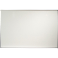
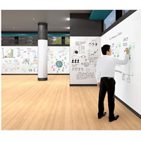
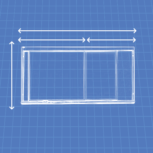
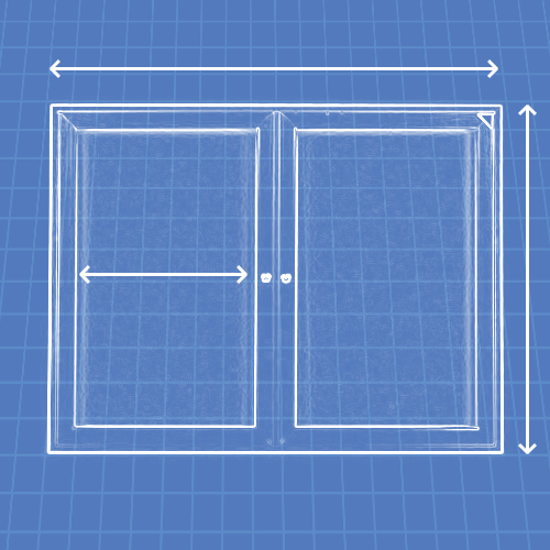
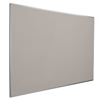
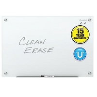
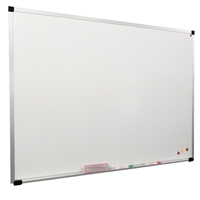
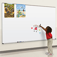
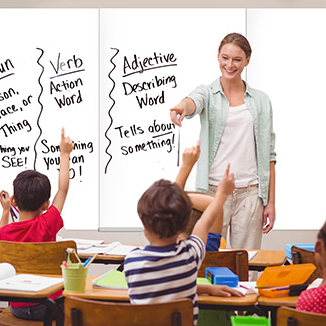
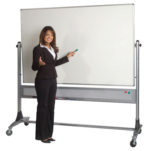
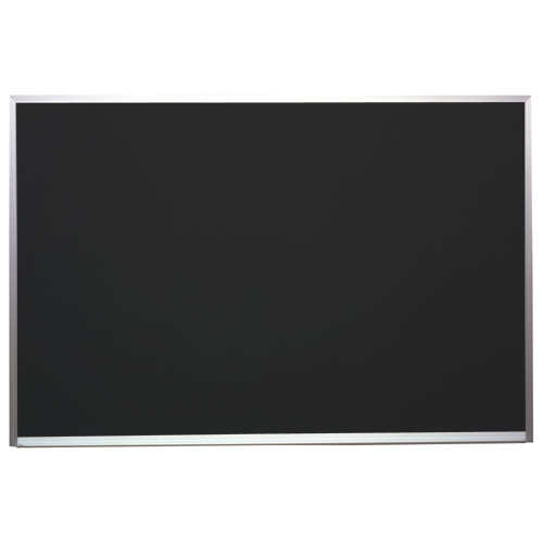
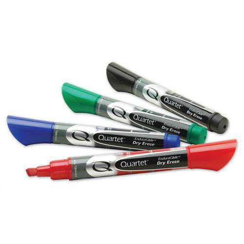
Whatever your message is, these products will help you get it across to everyone. We do mobile boards, wall boards, and letter boards like nobody else.
Shop All
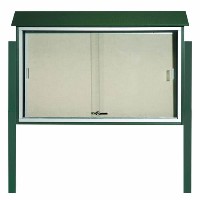
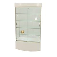
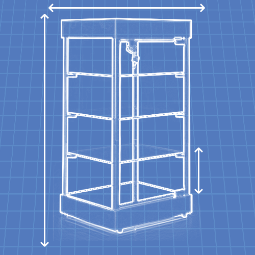
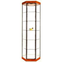
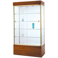
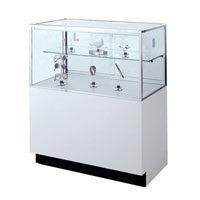
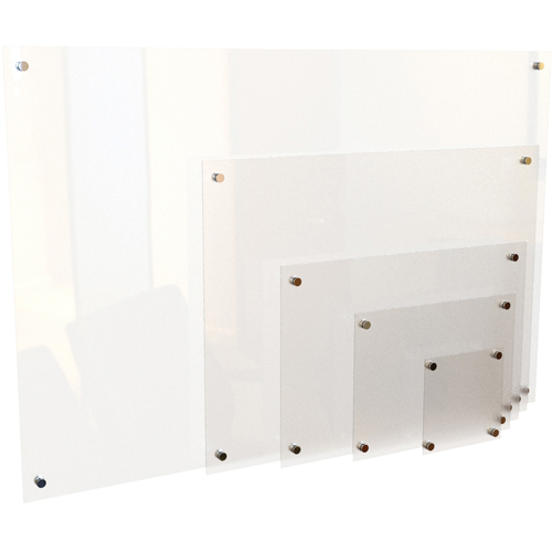
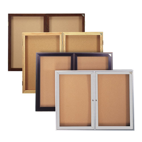
Be proud of your belongings and show them off in one of our many display cases!
Shop All